
In The Air - PDX to DEN
Some of the most beautiful landscape in the US is along the flight path from Portland, OR to Denver, CO. This trip in particular is gorg-mazing! (Yes, it's a word now from gorgeous and amazing.) During a clear morning after a fresh snowfall all the peaks are blanketed and exemplify the ruggedness of the land with craggy outcroppings in contrast to the powdery white. The sun in this early morning flight from 36k ft casts breathtaking shadows.
Oh the things you will see
Good morning
Pass by the Columbia River gorge in the darkness of pre- Dawn, near the end of the gorge are rewarded with a few peaks coming into view With the morning light.
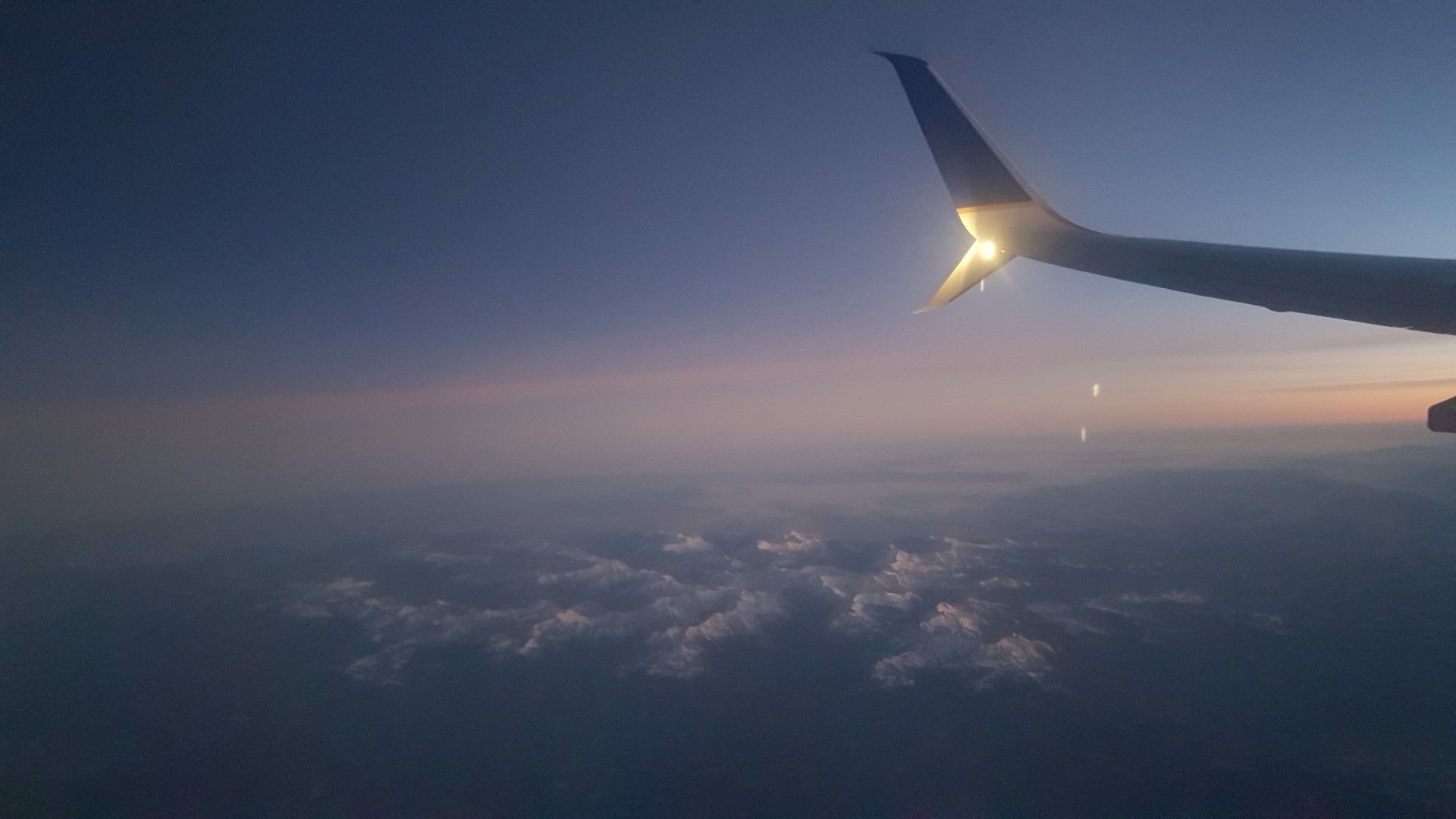
Walla-What?
Wallowa-whitman National Forest is the first place we can see some mountainous glory!
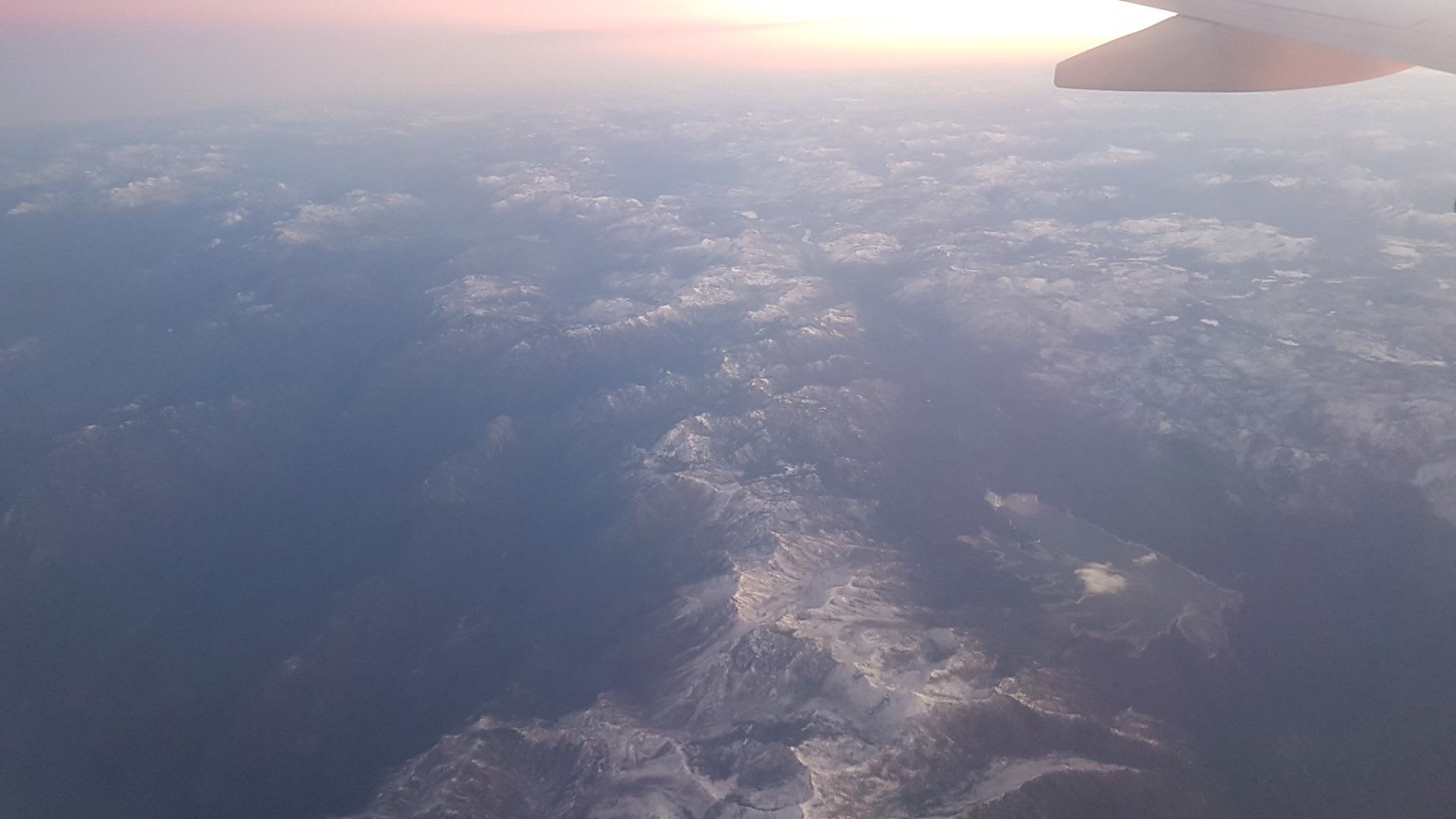
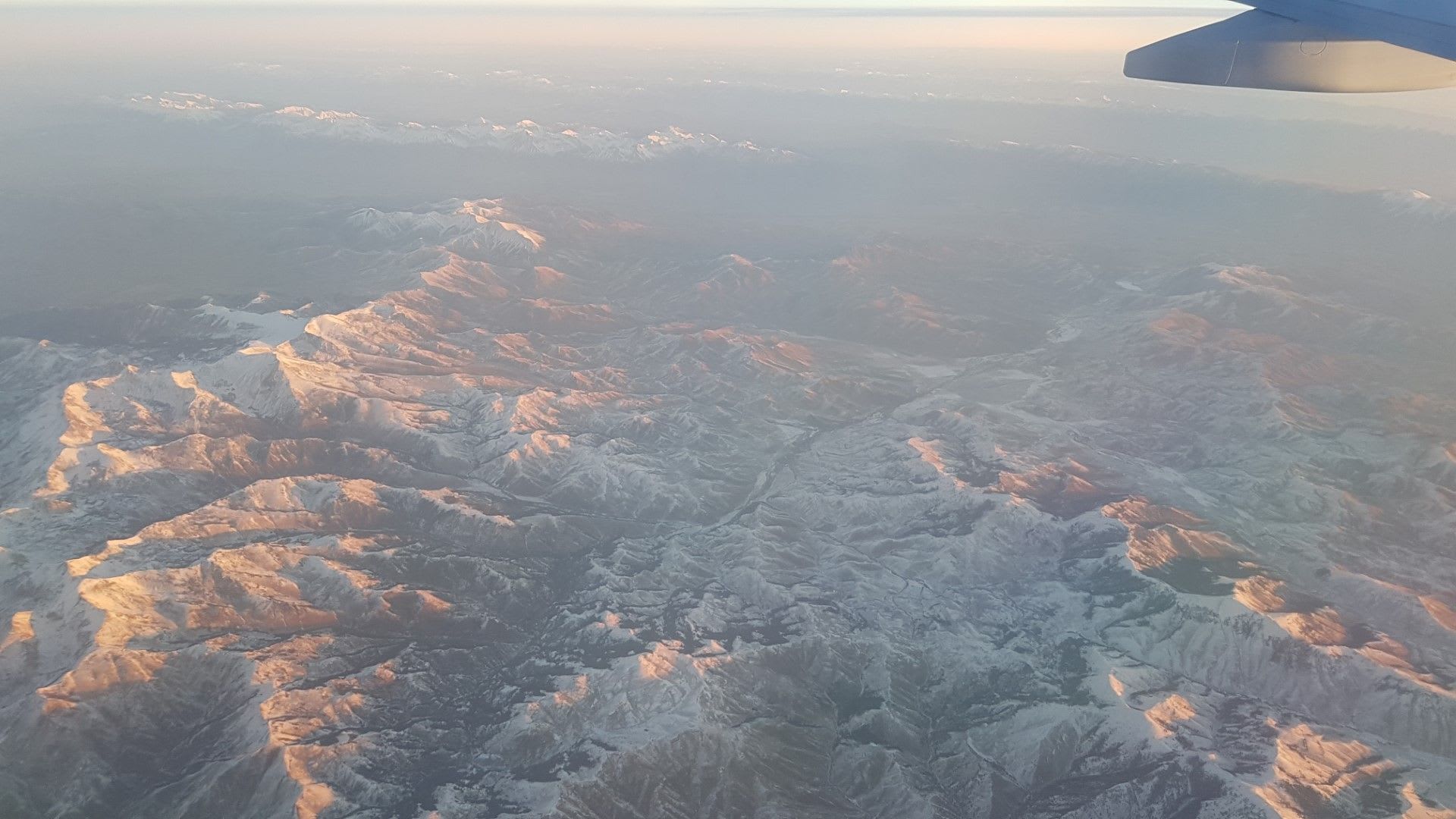
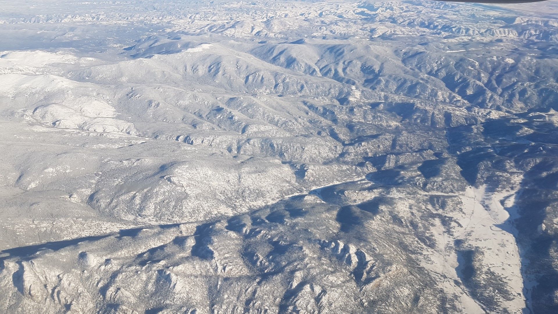
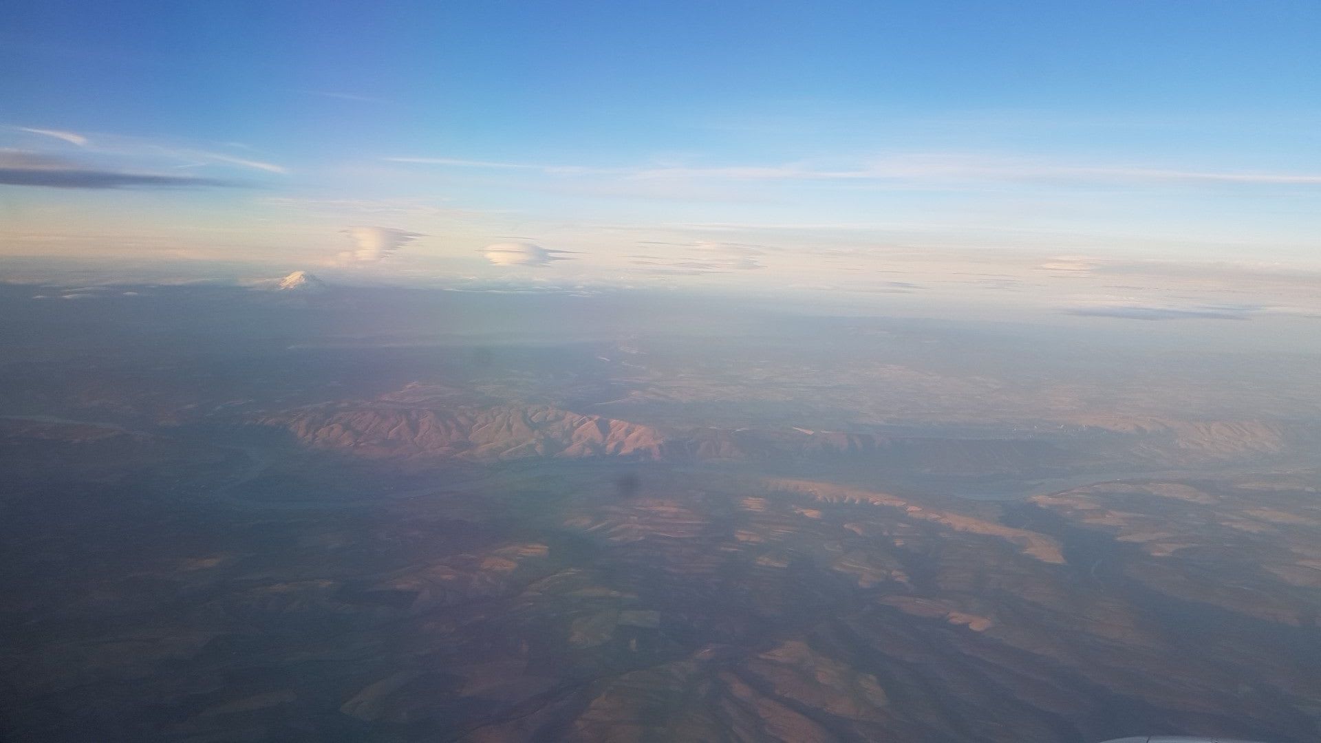
Boise
Boise National Forest does not disappoint, but need to get off the interstate to feel it on the ground
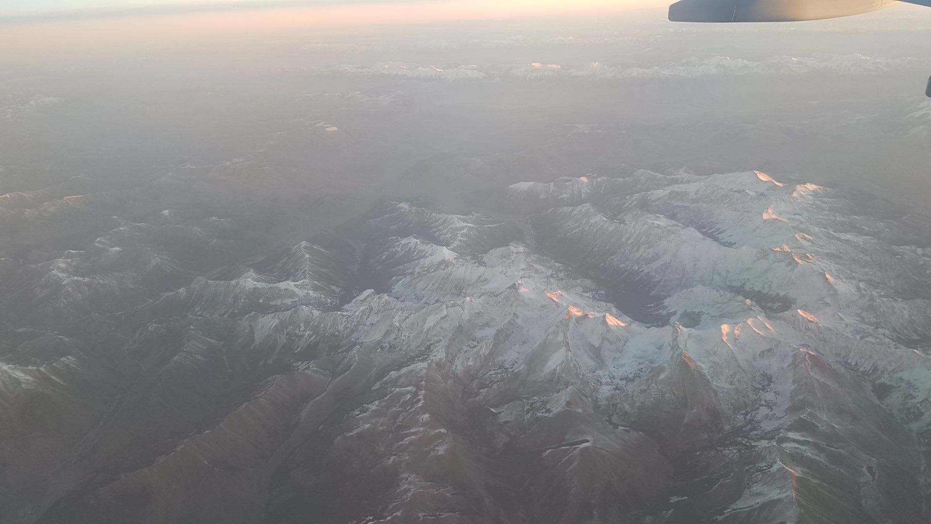
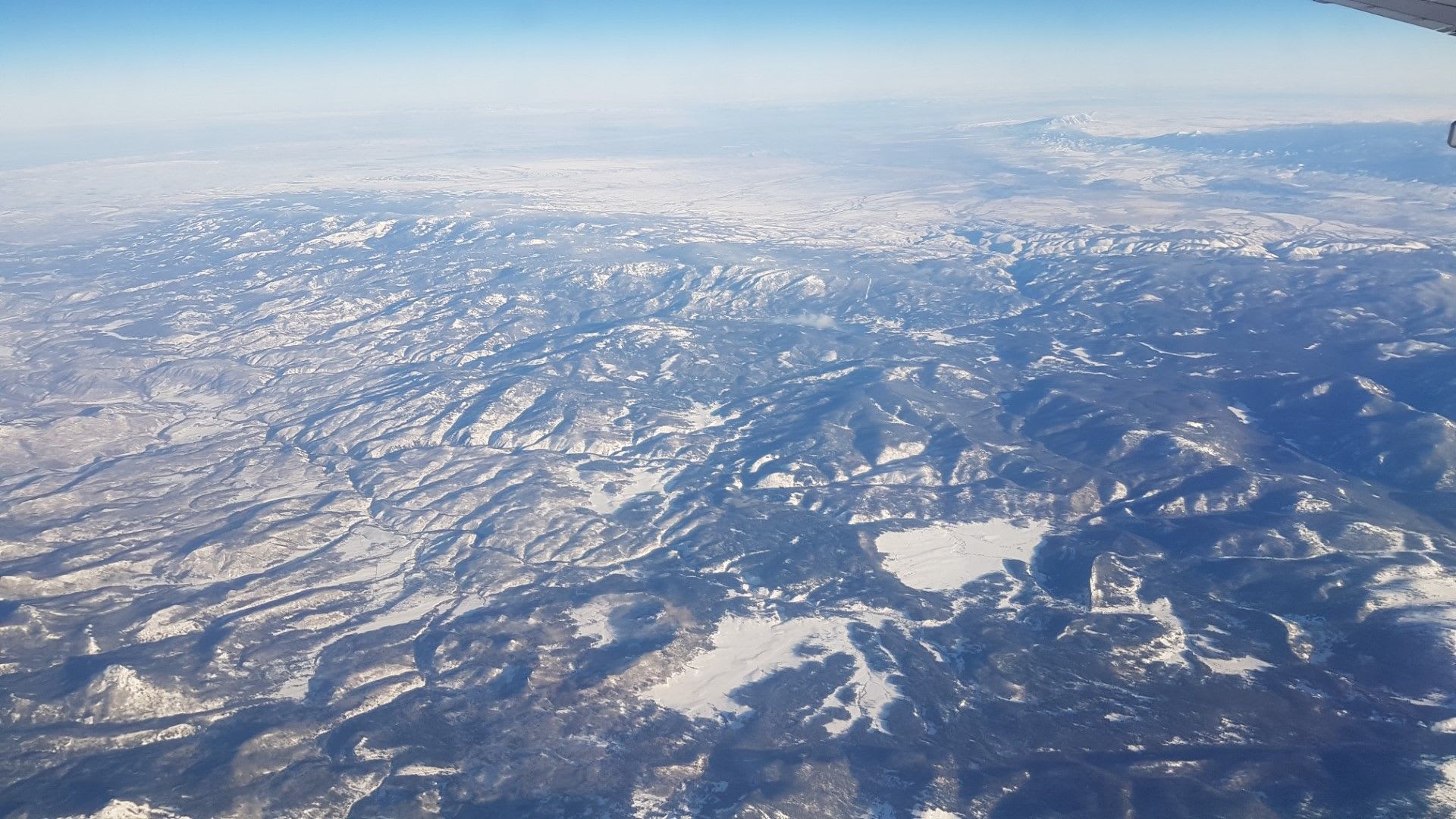
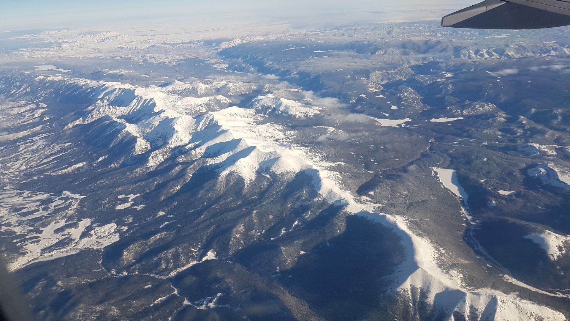
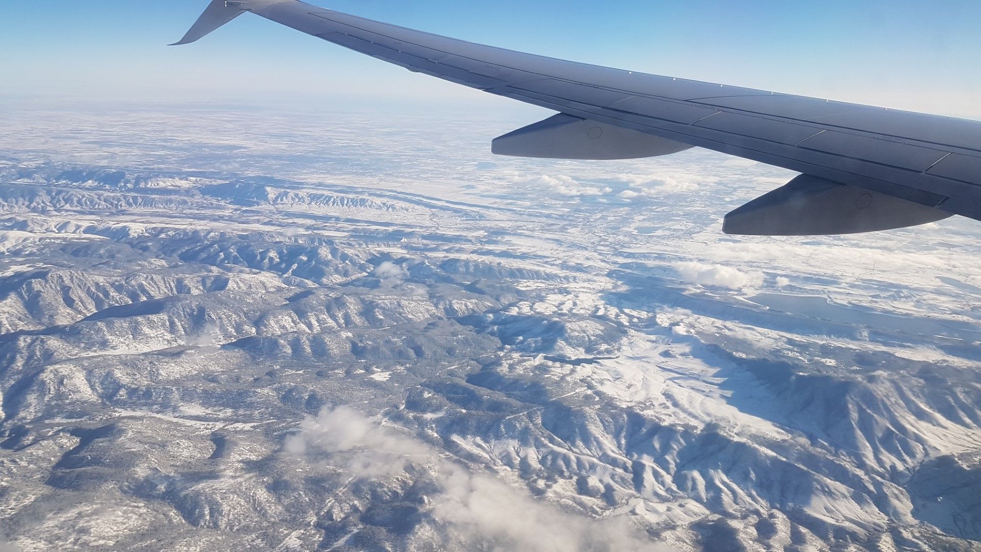
Sawtooth!!
Sawtooth National Forest nearby to Boise continues to impress and earn it's name- look at those sharp peaks.
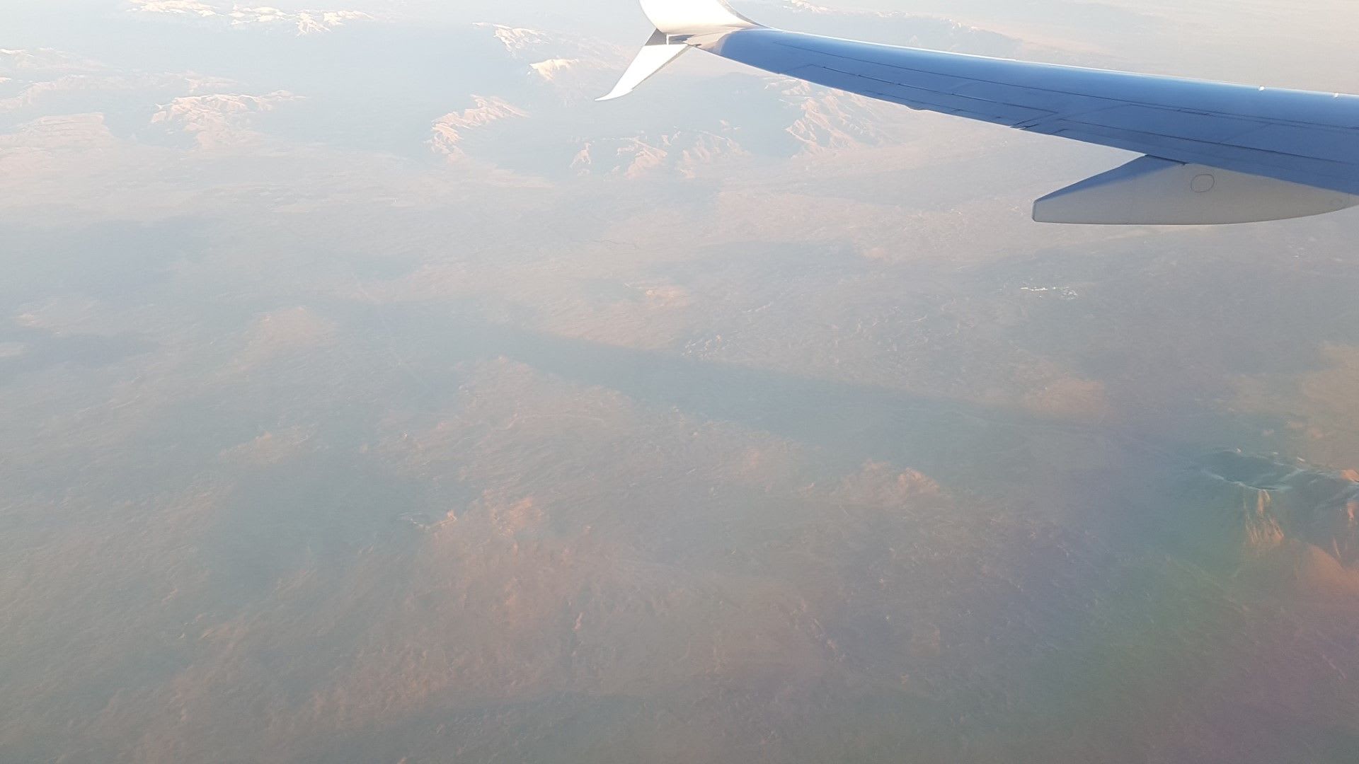
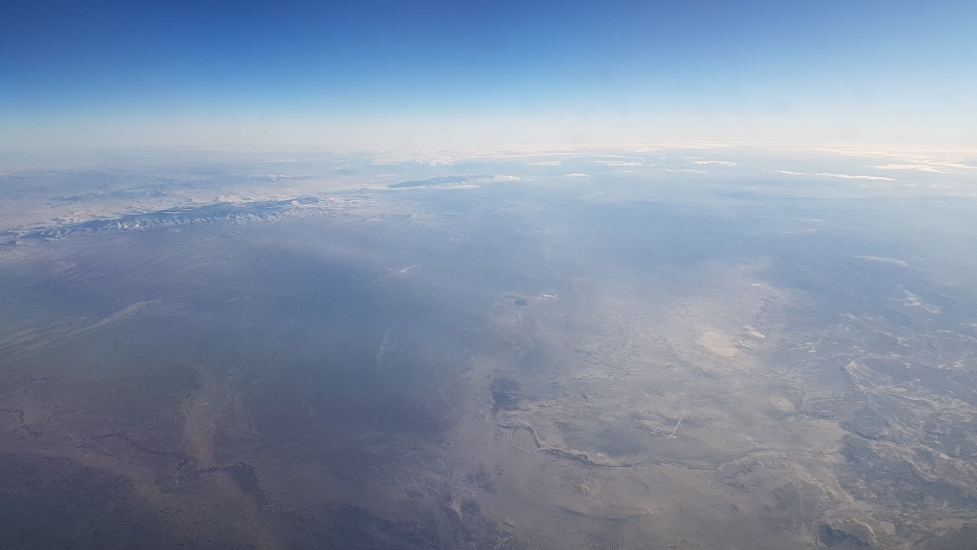
That's no moon...
Craters of the Moon National Monument is an otherworldly site, especially from the air. Gosemer clouds and smokey haze obscure some of the view
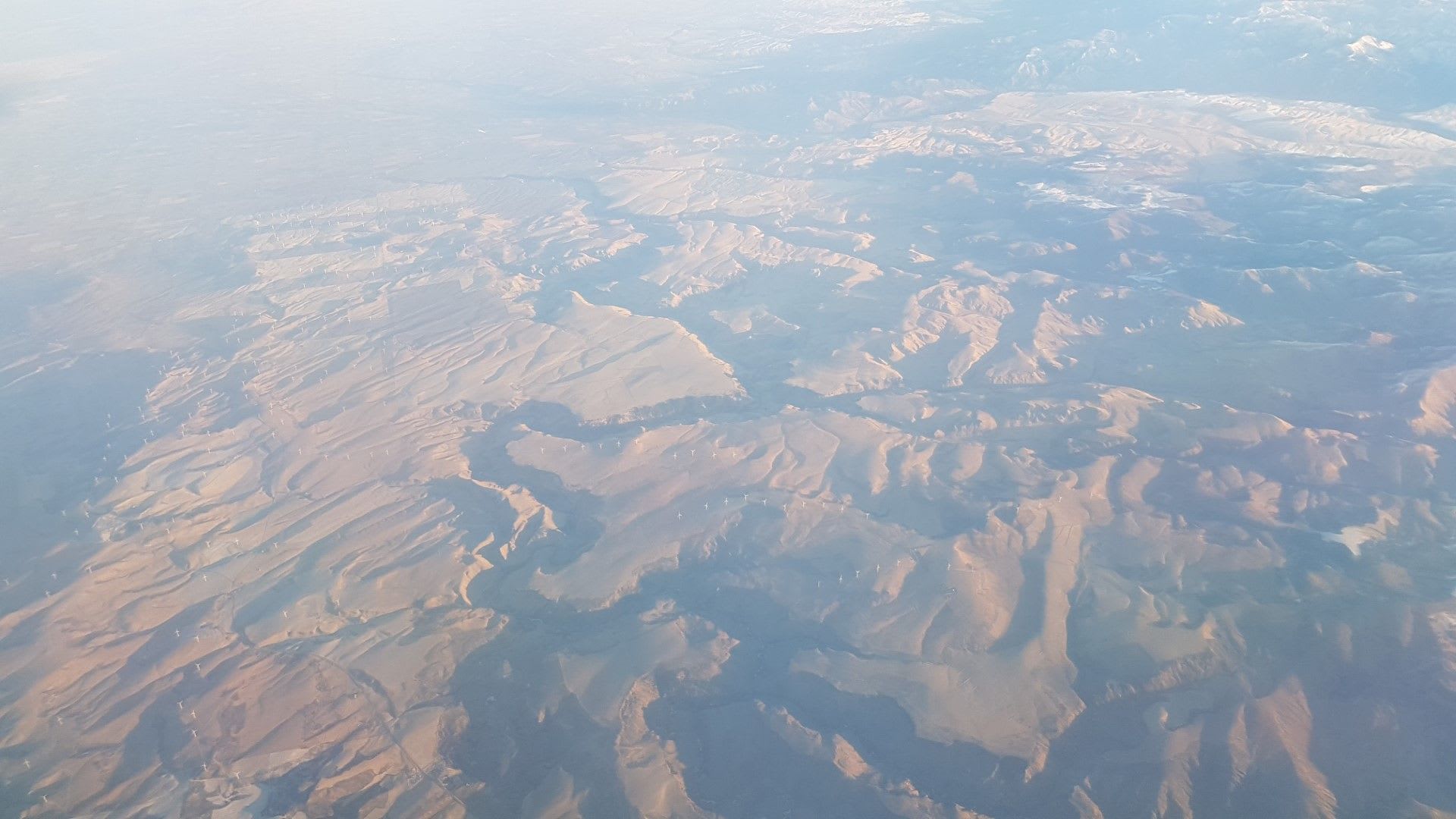
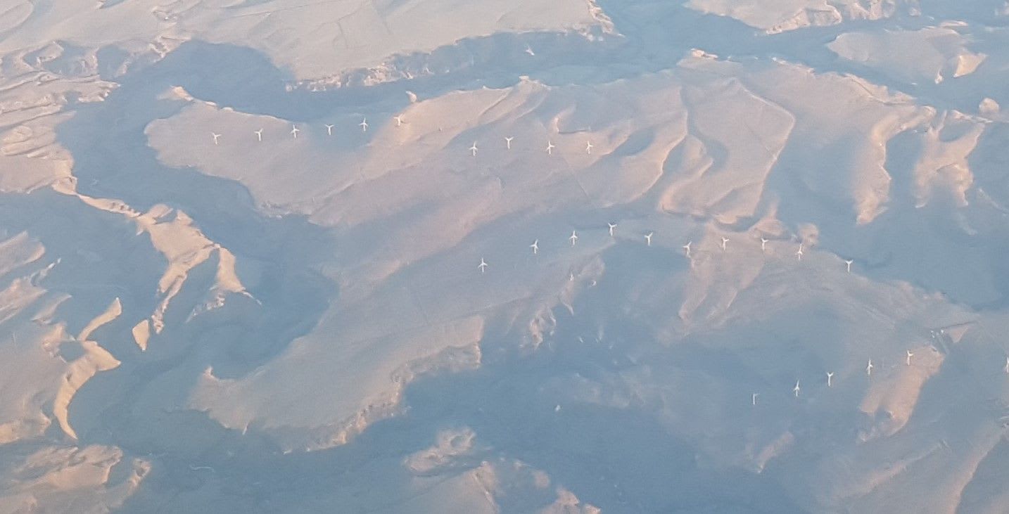
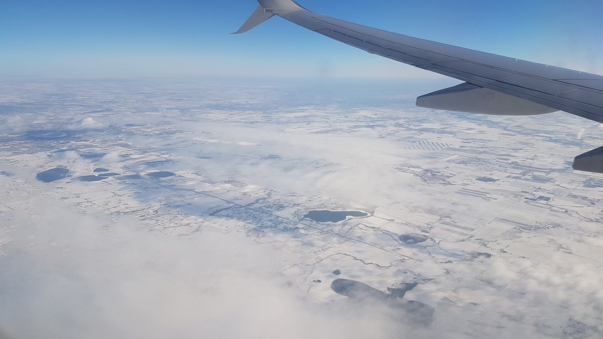
Wind power
We cross into a rolling Idaho lanscape that is dotted as far as the eye can see with Wind Turbines along the ridges of high hills.
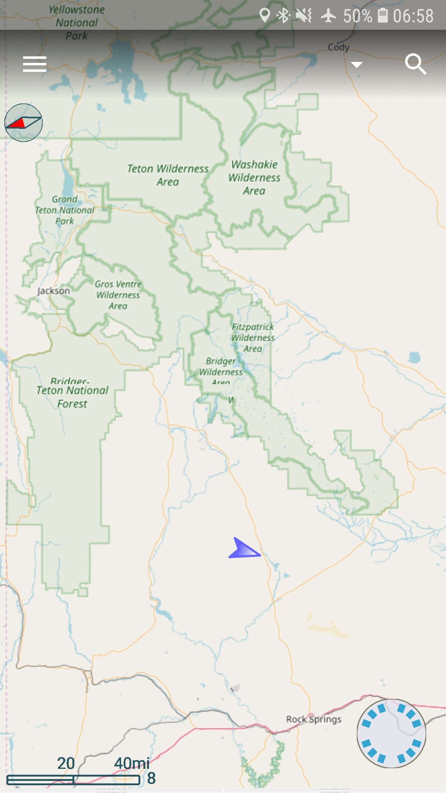
Grand Tetons
Diverge slightly north to the Teton National Forest to see some amazing sites of the Grant Tetons, Jackson hole is on the lower side. Yellowstone is up in the distant.
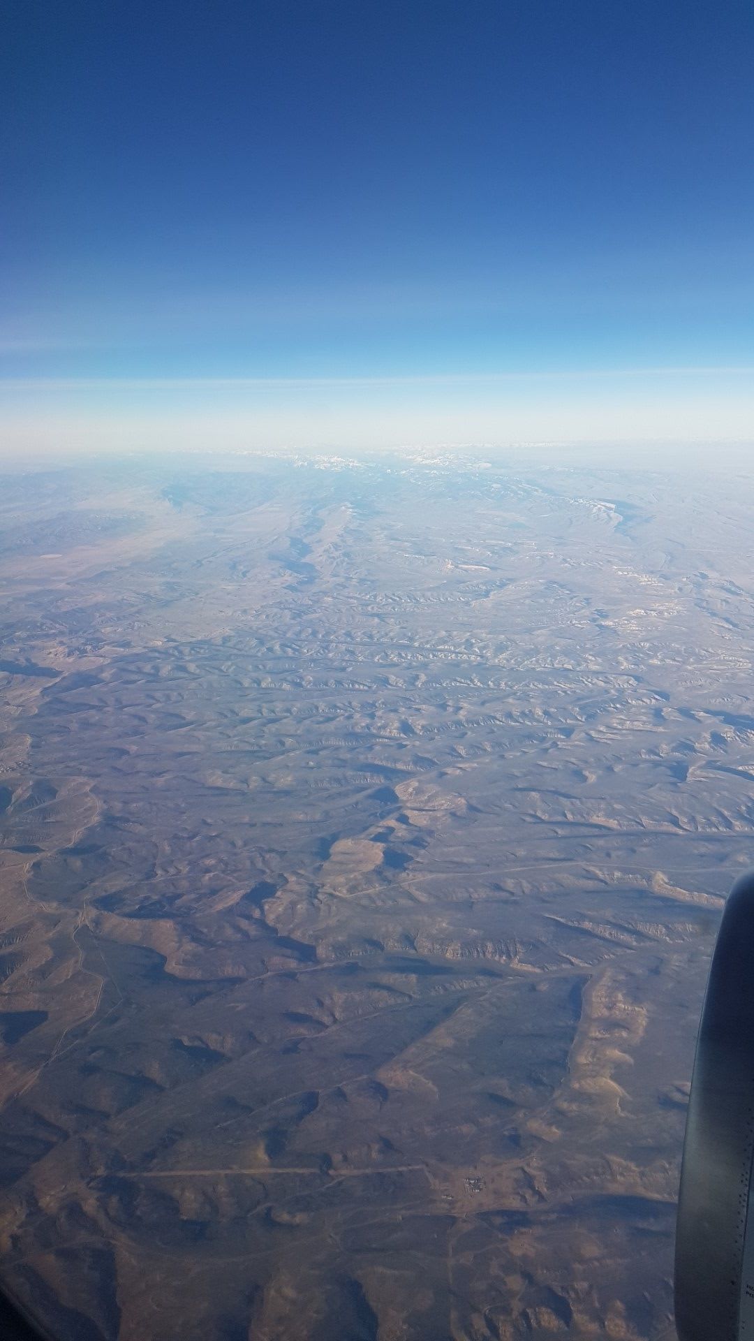
Wyoming
The Bigger and Fitzpatrick wilderness in the distance over the desolate, cold WY landscape.
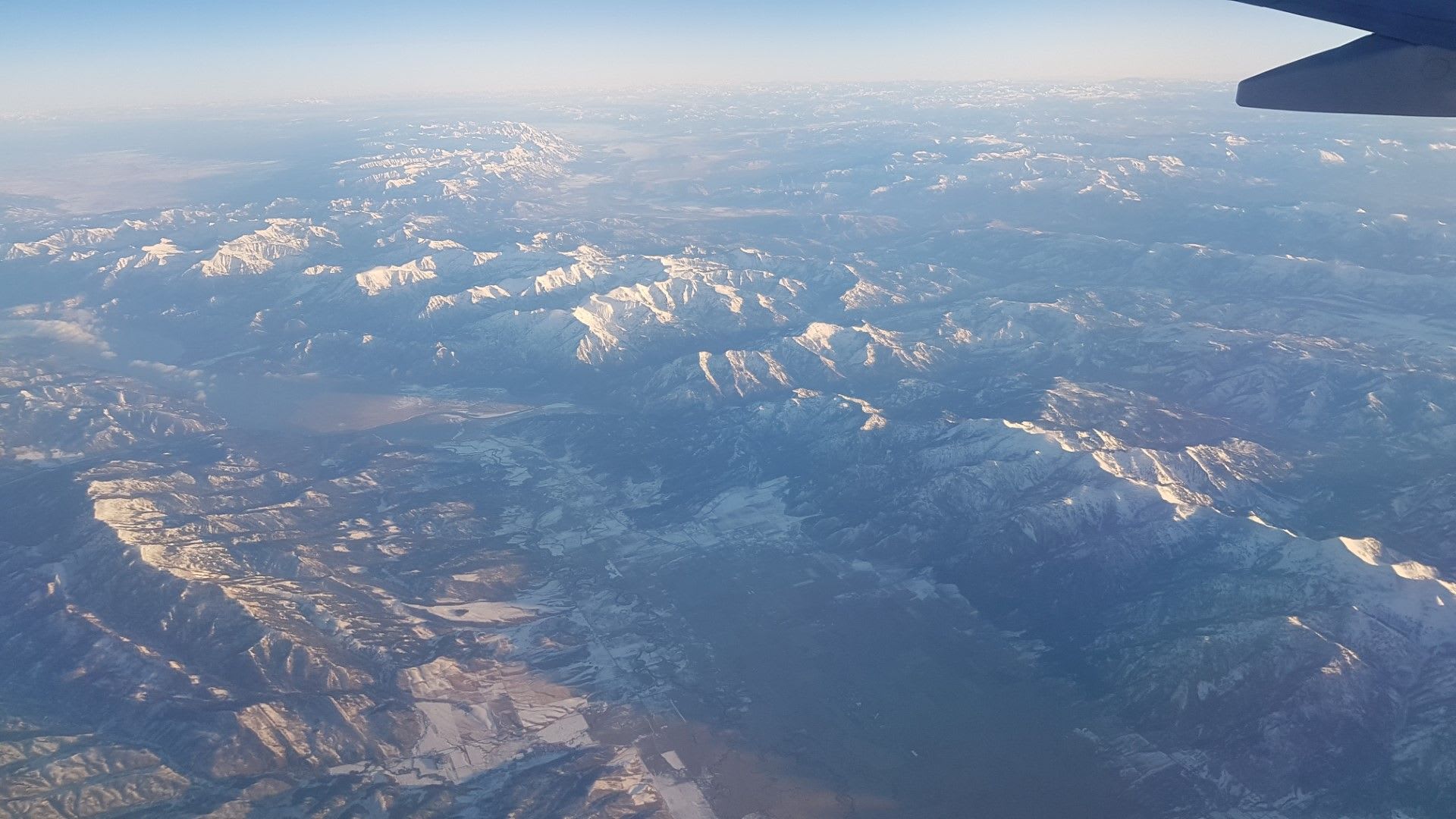
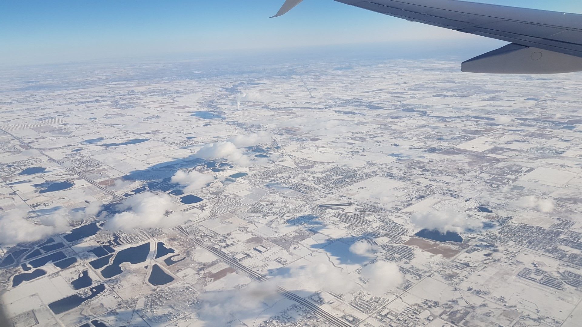
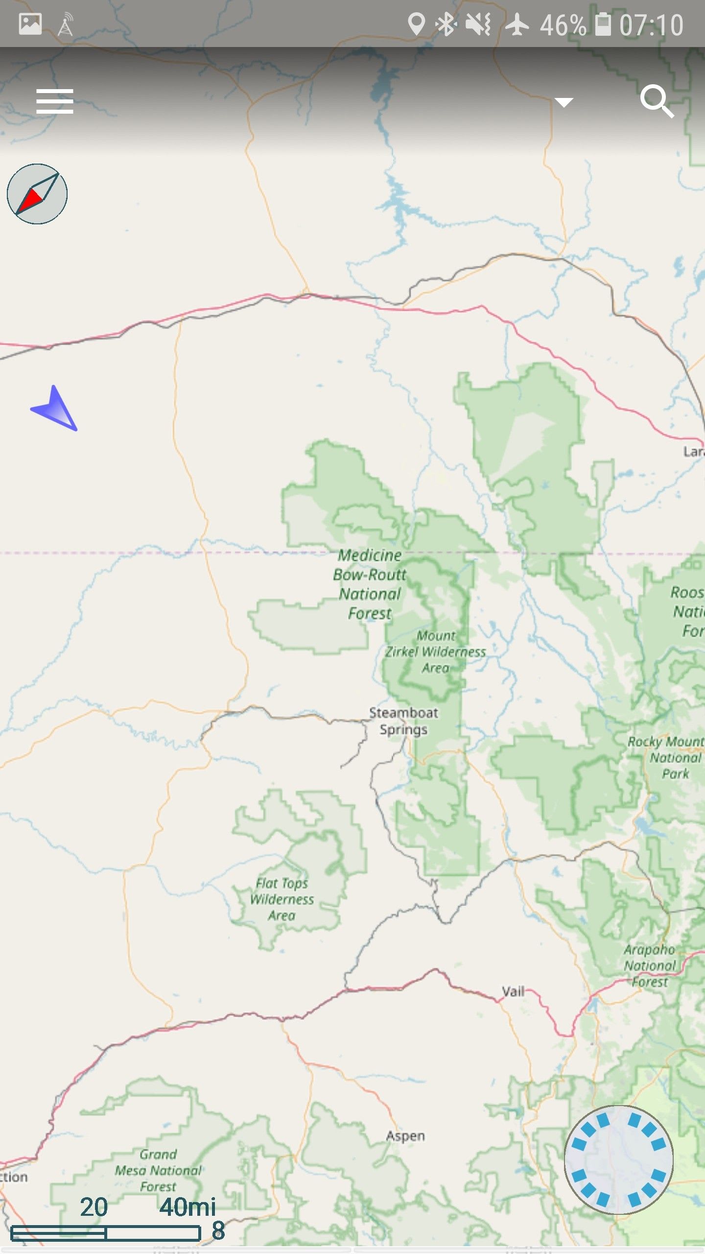
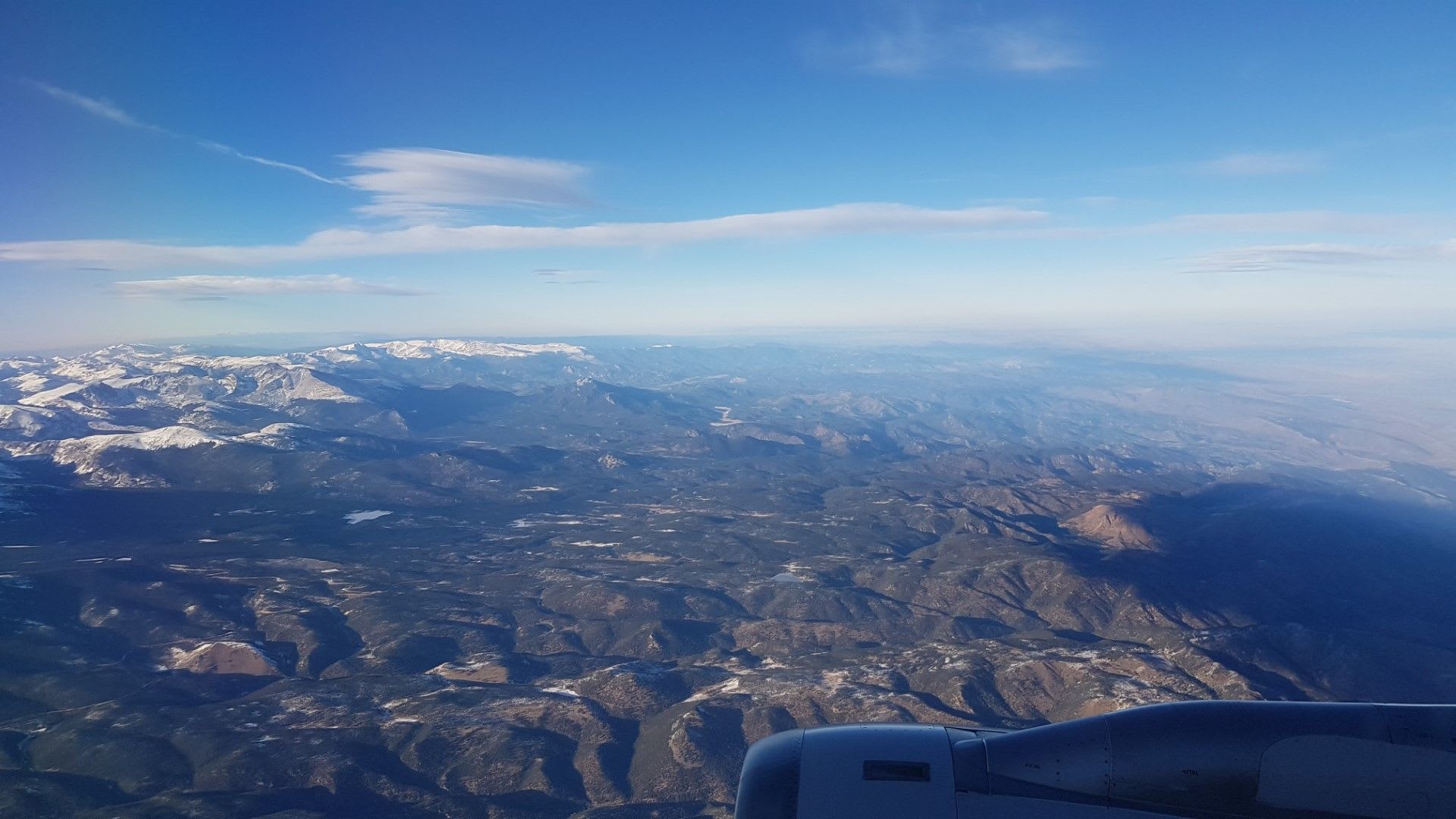
Into Colorado
We then took a southeastern course to get into the commanding Rockies proper, dipping up to our necks into Medicine Bowe-Routt National Forest
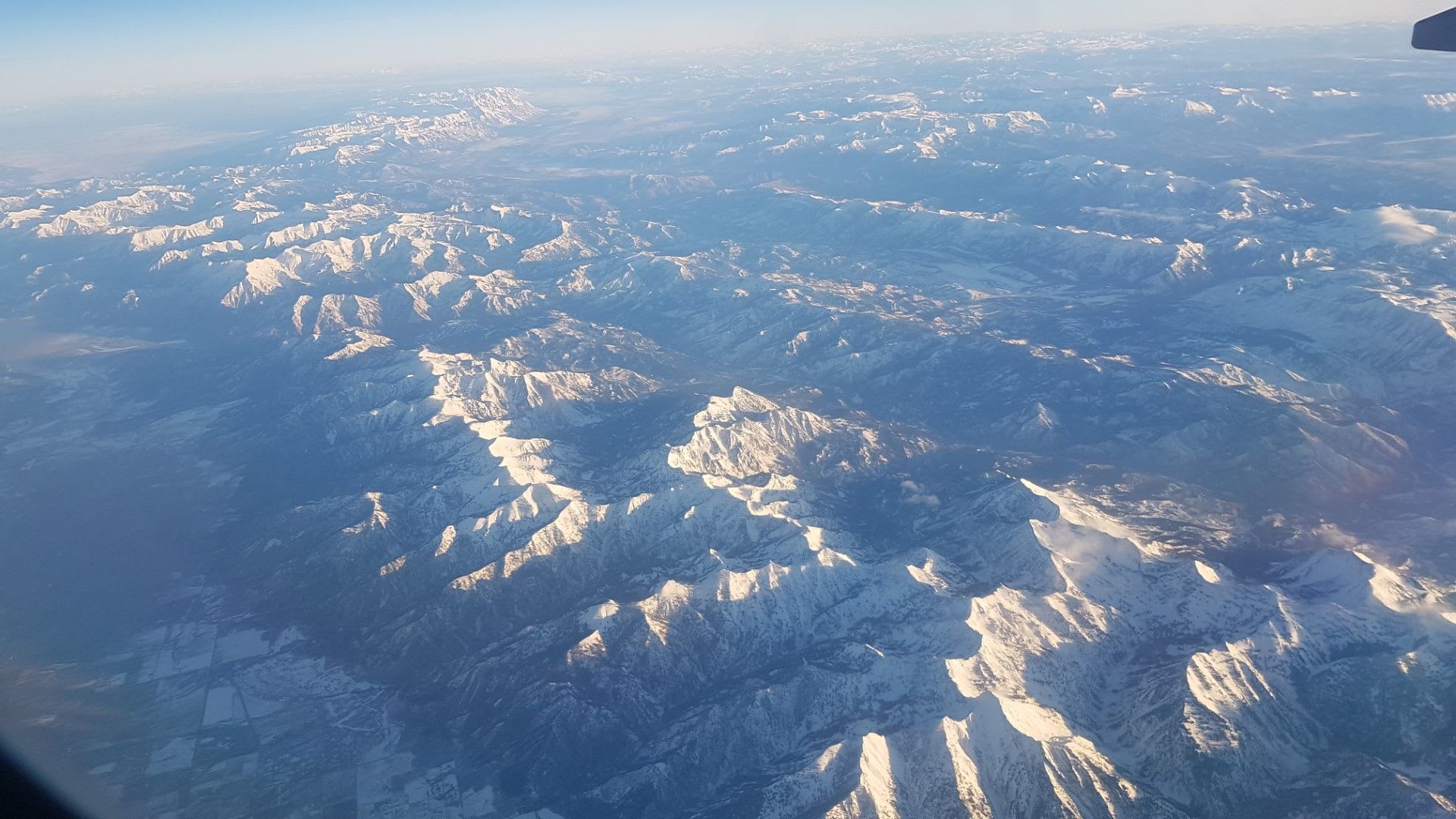
Closer to the Rockies
On our way down into Denver we pass over the well known Rocky Mountain NP and the Roosevelt NF beyond, what a sight from 25k ft.

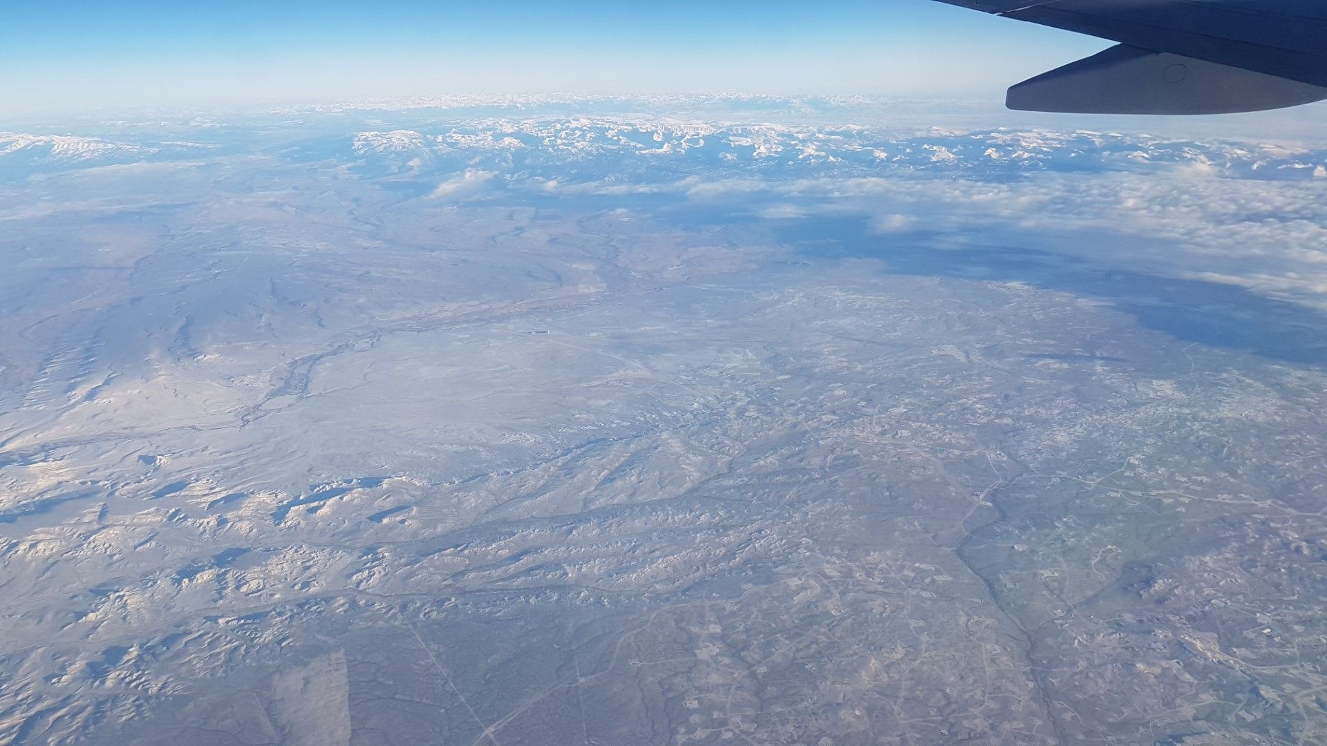
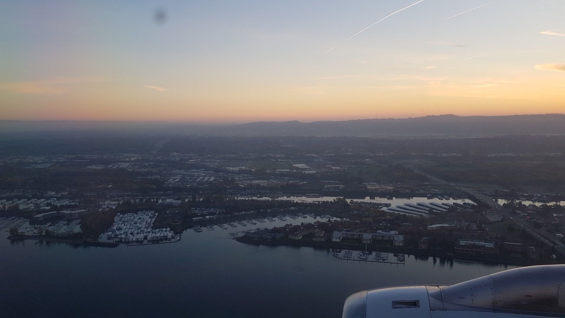
Final approach
And, of course, on approach to Denver, looking East on the great, flat shelf of eastern Colorado that goes into Nebraska and the Midwest.
Are we there yet?
How did I know where we were on the flight? I use an offline hiking map (GPS Essentials app) and the GPS signal, which takes a few seconds to zero in but tells the whole story! Window seat required
Return Flight
I got some more more amazing pics on the return flight that I also wanted to share! My biggest regret is that I had another North-facing window, where the South face would have given more another vantage, though the sun was a bit strong on that side.
Back into the fold
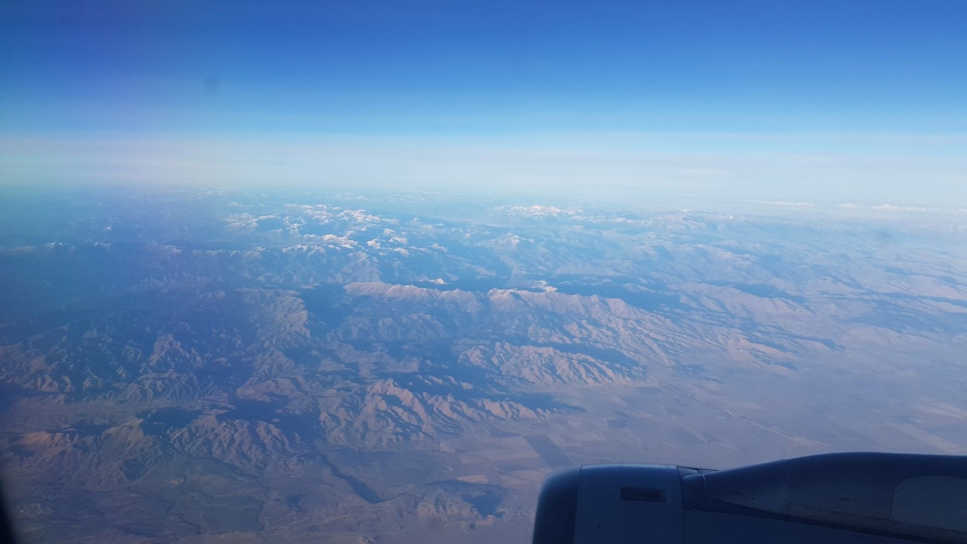
Going back into the mountains from Denver, I captured a great example of how the flat land turns into foothills and then further turns into the snow-covered mountains.
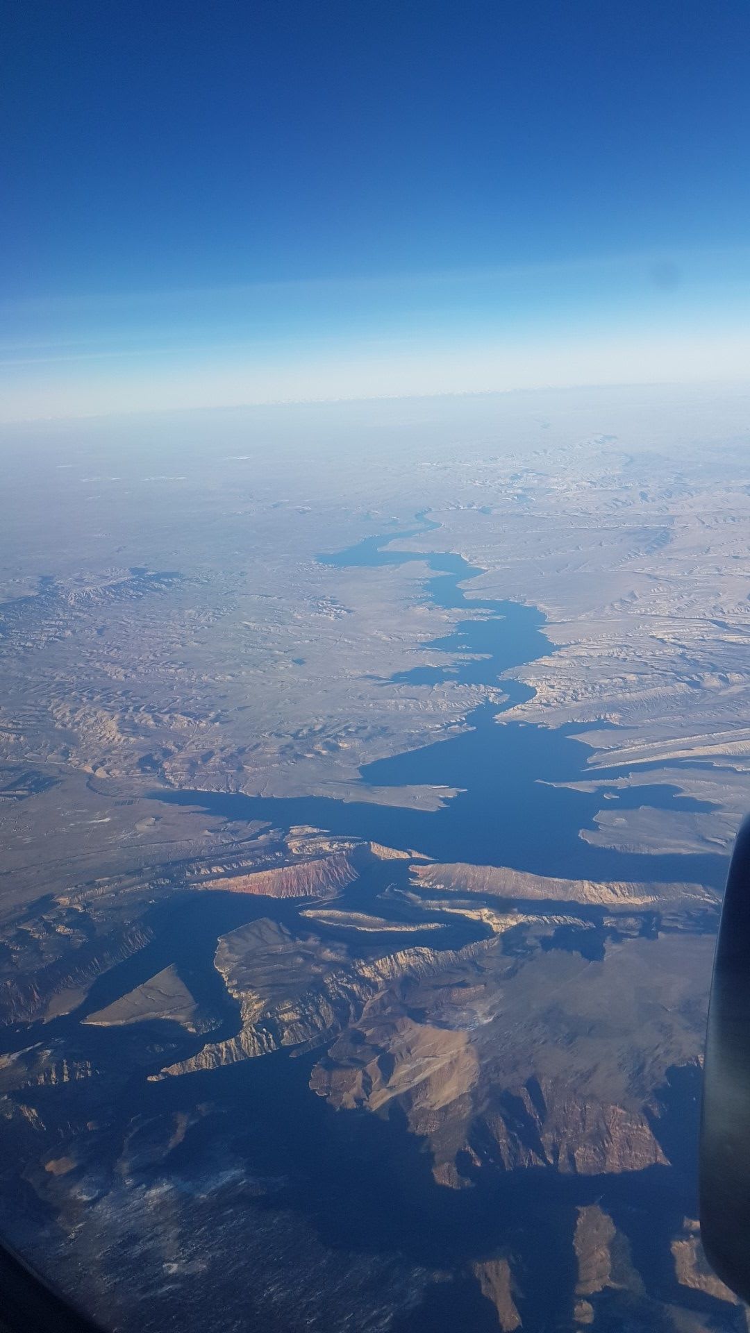
Flaming Gorge is on fire!
The evening sun (golden hour!) really showcases Flaming Gorge National Recreation Area, just north of Ashley National Forest. The gorge is just on the lower side of the photos.
Utah, fondly remembered
In the Unita-wasache-cache National Forest you can see maybe 200 miles north to the Tetons... Amazing mountains way in the distance.
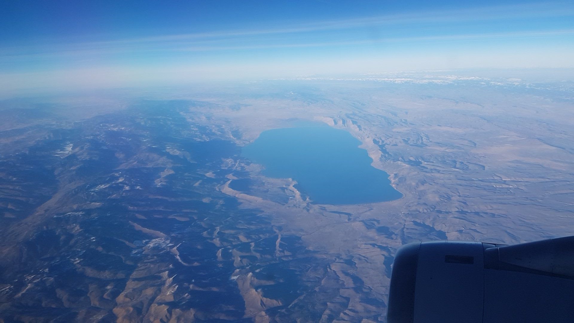
Bear Lake, Utah or is that Idaho?
Bear Lake straddling the Utah, Idaho border with Mount Naomi Wilderness area to the West. You can see how the lake was dammed up on the southern side, so straight. And the Tetons towering way in the back still.
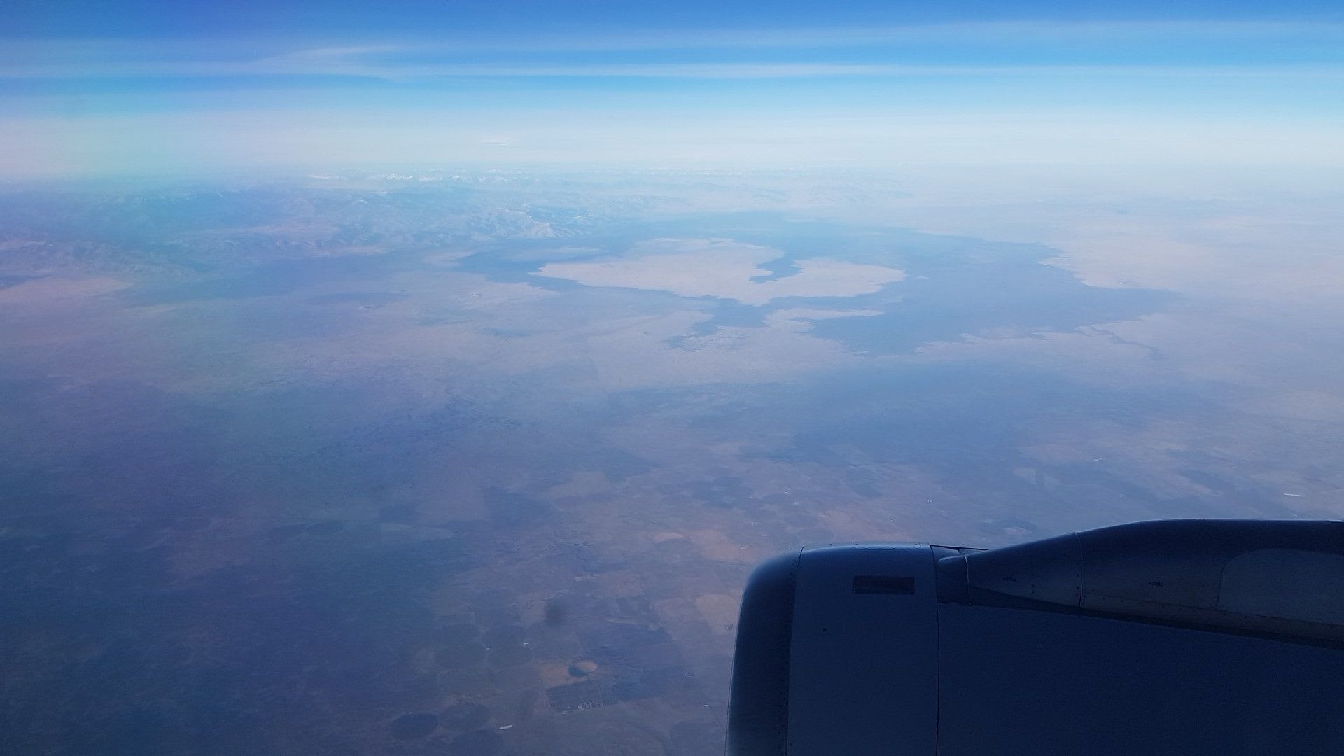
The Great Salt Lake would be on the other side of the plane, to the South, and I would just love to capture that.
Bam, boom, straight to the moon!
Pardon the misogynistic throwback reference to the Honeymooners. Craters of the moon the west-bound flight. A little less otherworldly in the late afternoon sun.
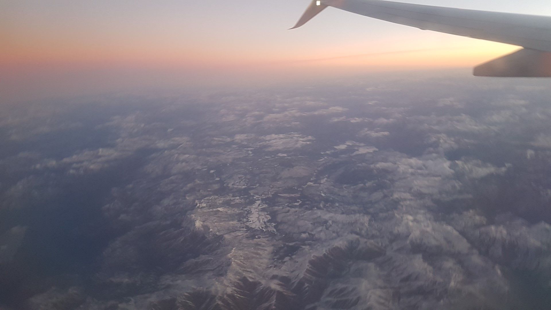
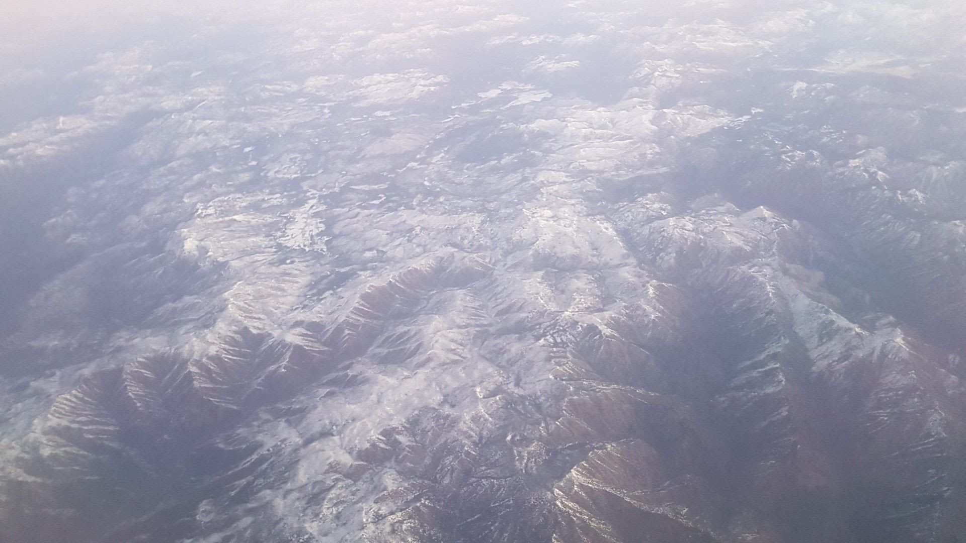
Sawtooooooth!!
Sawtooth and Boisy National Forest again, we are a bit further South this time.
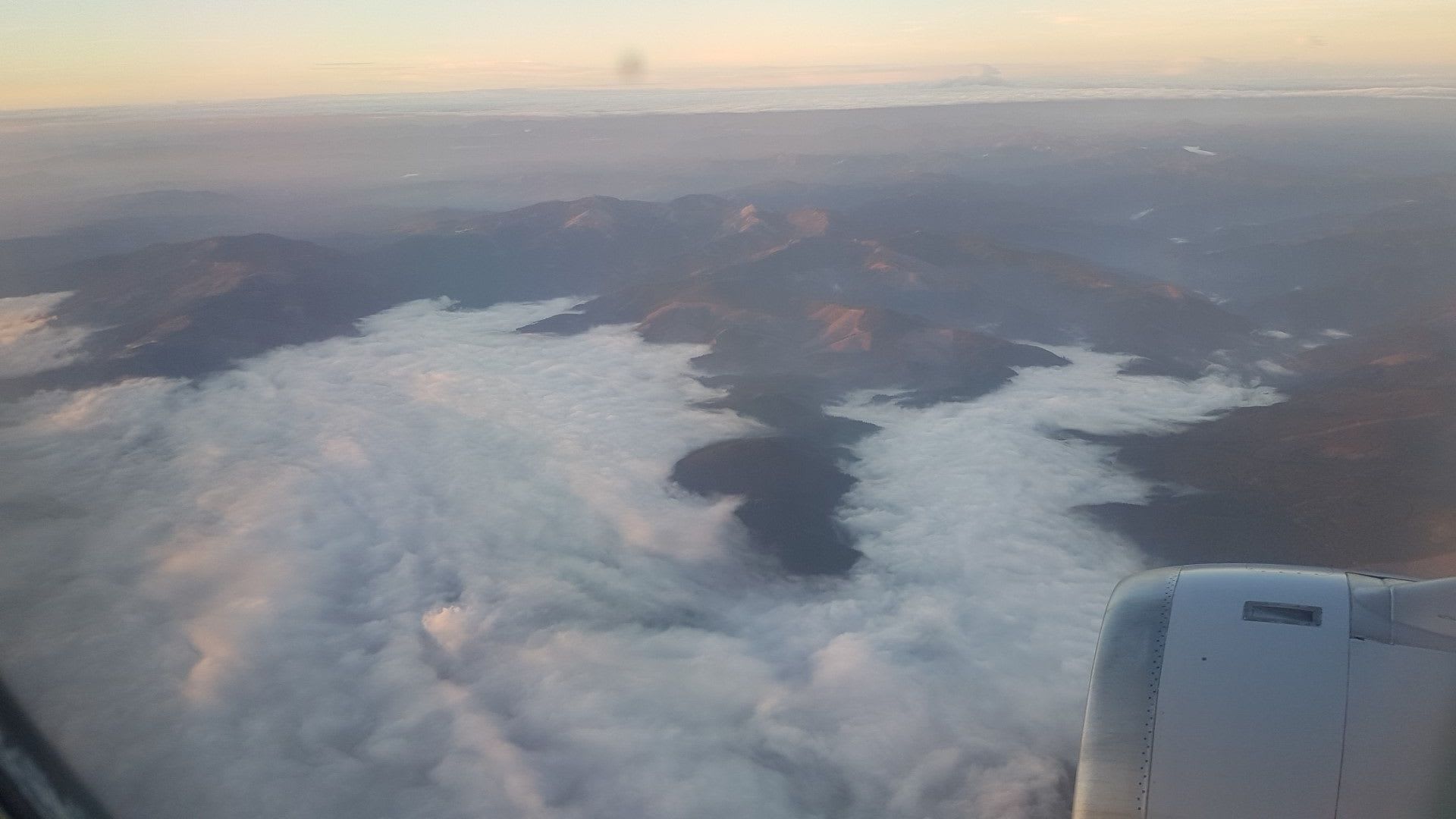
California wildfires felt far and wide
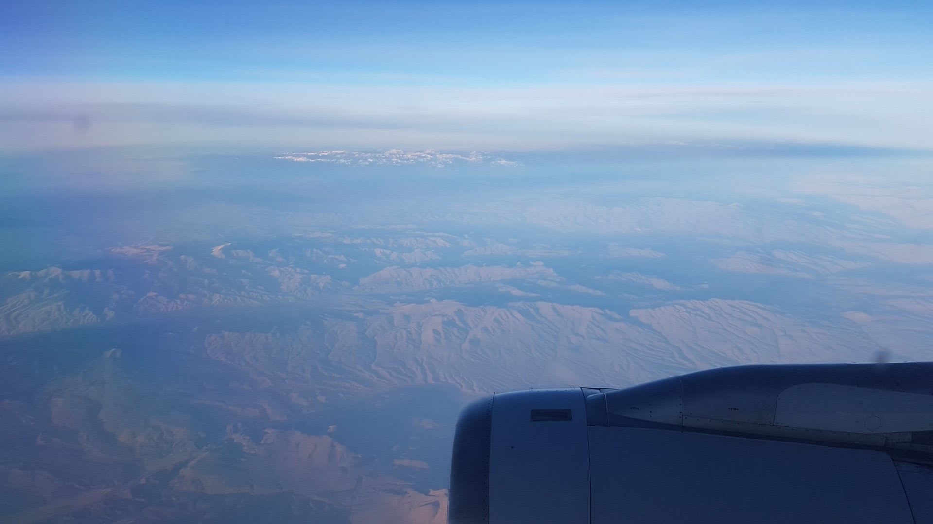
It's getting hazy and smokey as we pass further into Idaho. The California wildfires are showing their devastating force even up here. The Wallowa-Whitman National Forest and mountain tops are in the distance.
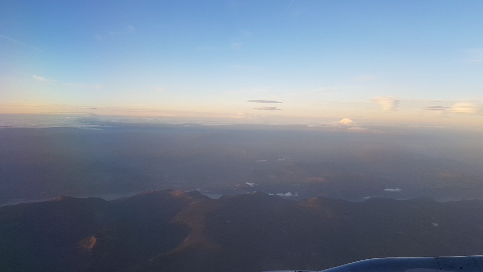
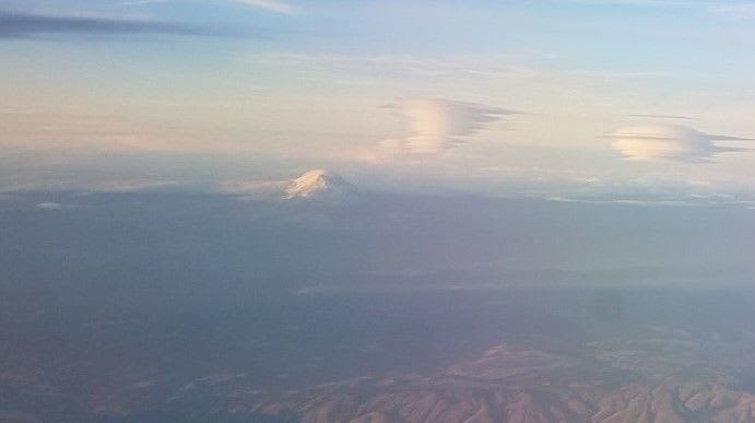
Back to Oregon, hello Mount Adams
By the time we come up on a parallel path to the Columbia River Gorge and begin decent, the smoke to the South is intense, I can see across the rows at an open window.
Mount Adams is in clear, towering view, though!!
Too bad Mnt St Helens and Mnt Rainier were obscured by clouds and haze.
Welcome back to Portland
And a moody, heavy foggy CRG near PDX! That's actually the Fifford-Pinchot NF on the top side. Think it's raining down there?
Welcome to Portland!
Feature Pic
Taken by Matt Z on the East-bound trip over Idaho.